12,378
HECTARES
124,711
POPULATION
73
Barangay
1671
YEAR OF FOUNDATION
WELCOME TO THE MUNICIPALITY OF MALASIQUI

Malasiqui, officially the Municipality of Malasiqui (Pangasinan: Baley na Malasiqui; Ilocano: Ili ti Malasiqui; Tagalog: Bayan ng Malasiqui), is a 1st class municipality in the province of Pangasinan, Philippines.
Malasiqui is mainly an agricultural municipality with rice, corn and tropical lowland vegetables as main crops. It is also famous for its mango fruits having one of the largest concentration of mango tree population in the Philippines.
-
PRODUCTS:
- Rice rice_bowl
- Corn spa
- Vegetable grass
MISSION AND VISION
The Municipality of Malasiqui will maximize opportunities for social and economic development while retaining an attractive, sustainable and secure environment for the enjoyment of residents and visitors. Through professional leadership and in partnership with others.
MUNICIPALITY'S OFFICE
The Municipality Offices of Malasiqui are divided into clusters which are deeply committed to a service that is responsive and dedicated to the needs of its constituents.
navigate_nextView Offices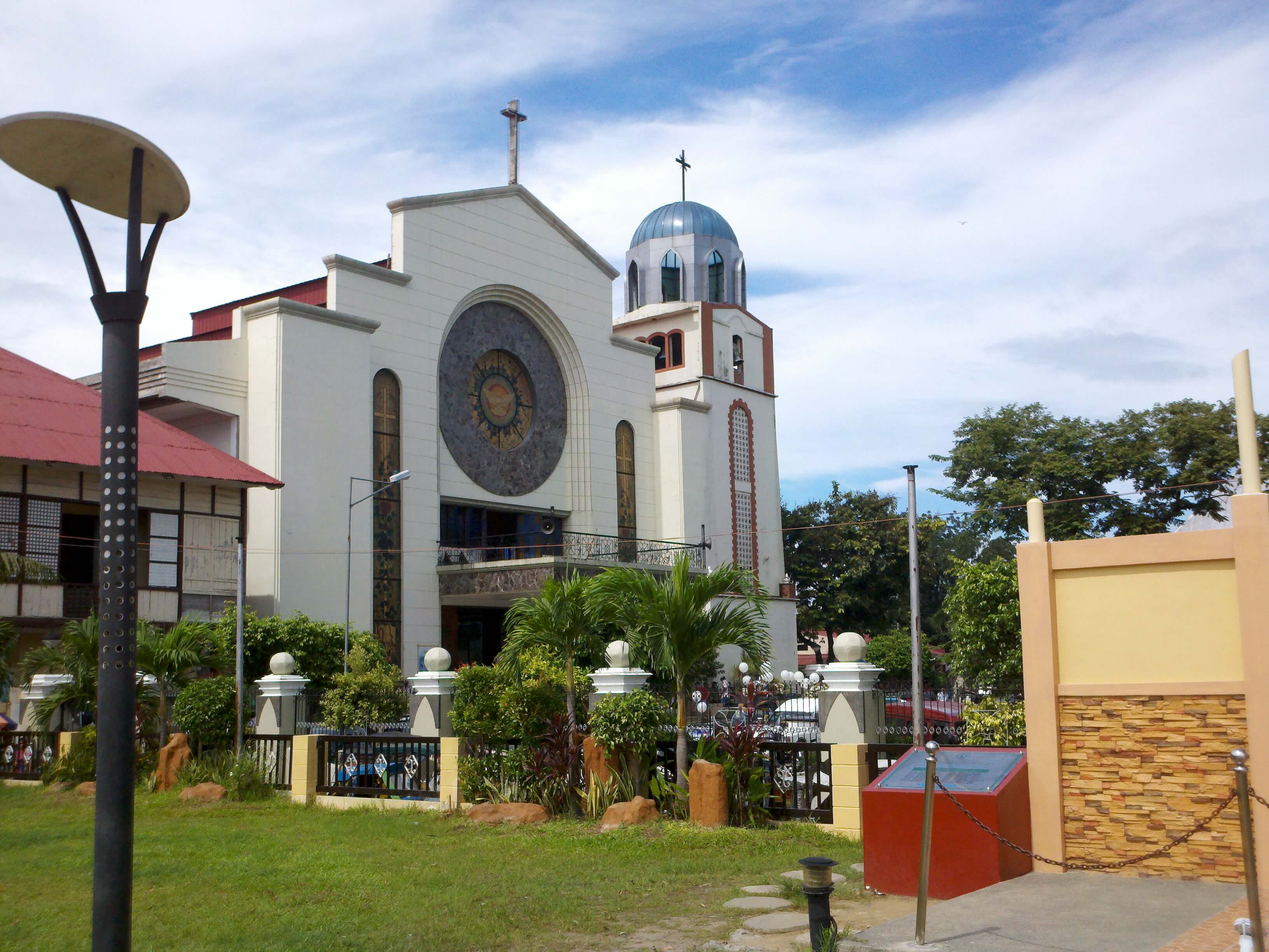
GOOD GOVERNANCE
Executive Orders
Refers to the Acts of the President providing for rules of a general or permanent character in implementation or execution of constitutional or statutory powers.
Legislative Orders
Refers to the Acts of the President providing for rules of a general or permanent character in implementation or execution of constitutional or statutory powers.
Ordinances
Local law of a municipal corporation, duly enacted by the proper authorities, prescribing general, uniform and permanent rules of conduct relating to the corporate powers of the municipality.
Bids and Awards
Procurement of oders to evaluate the proposals (tender offers) taking part and award the relevant contract. So it remains to choose the most preferable among the proposed.
HOTLINES
MAYOR’S OFFICE
MPDC OFFICE
TREASURY OFFICE
AGRICULTURE OFFICE
MSWD OFFICE
CIVIL REGISTRAR’S OFFICE
MDRRMO OFFICE
MUNICIPAL HOSPITAL
RHU I
RHU II
DILG
PNP
FIRE DEPARTMENT